
Advance Surveying — What This Subject Is About
Basic Surveying taught you the chain, the compass and the level. Advance Surveying takes you further — to the plane table, the theodolite, tacheometry, curve setting, the total station, GPS and GIS. It is one of the two 200-mark subjects of the 4th semester (a theory paper 4.3 and a lab 4.4), and it carries 4 credits — the most in the semester.
You will set out circular curves by Rankine's method of deflection angles, balance a theodolite traverse by Bowditch's rule, measure distances with an EDM and a total station, and locate a station with GPS. The lab has 13 practicals, including plane table surveys by radiation, intersection and resection, theodolite and total station traverses plotted on A1 sheets, and a GPS exercise. (The spelling “Advance Surveying” is as printed in the PDF.)
Subject 4.3 (Theory) + 4.4 (Lab) • Total 200 Marks • 4 Credits • 4th Semester — Civil Engineering • Session 2026–27
About this document: Advance Surveying appears twice in the 4th semester — as a theory paper (4.3) and as a lab (4.4). Both are covered here, completely, in the official order. (Spelling “Advance Surveying” is as printed in the PDF.)

What You Will Study
Unit 1 — Plane Table Surveying (4 Periods, 20%)
Principles of plane table survey; accessories of plane table and their use, telescopic alidade; setting of plane table; orientation of plane table — back sighting and magnetic meridian method, true meridian method; methods of plane table surveys — radiation, intersection, traversing and resection (two point and three point methods); merits and demerits of plane table survey.
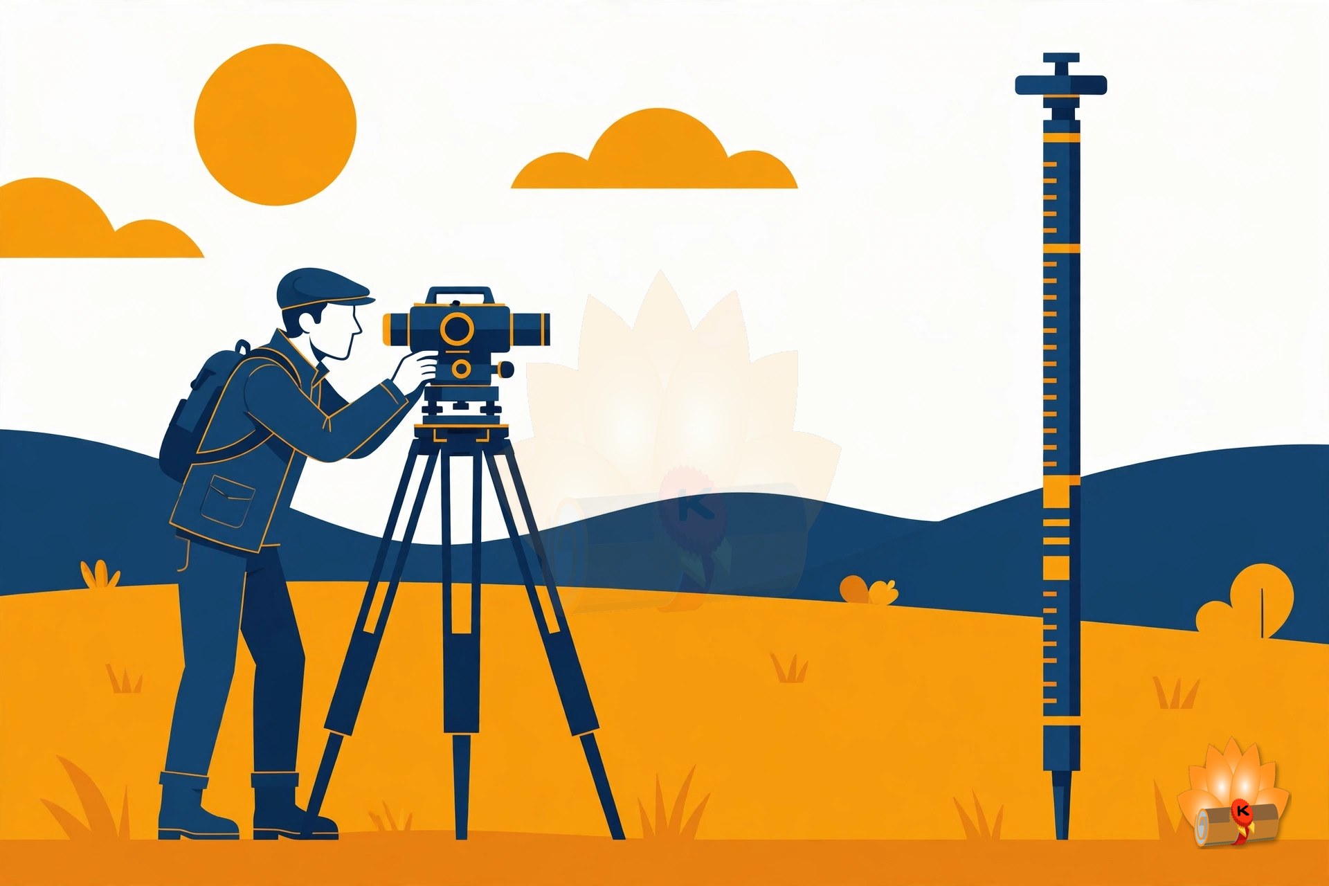
Plane table surveying — its accessories, setting and orientation, and the radiation, intersection, traversing and resection methods.
Unit 2 — Theodolite Surveying (6 Periods, 20%)
Types and uses of theodolite, components of transit theodolite and their functions, reading the vernier of transit theodolite; technical terms — swinging, transiting, face left, face right; fundamental axes of transit theodolite and their relationship; temporary adjustment of transit theodolite; measurement of horizontal angle — direct and repetition method and reiteration methods; measurement of magnetic bearing of a line, prolonging and ranging a line, deflection angle; measurement of vertical angle; theodolite traversing by included angle method and deflection angle method; checks for open and closed traverse, calculations of bearing from angles; traverse computation — latitude, departure, consecutive coordinates, independent coordinates, balancing the traverse by Bowditch's rule and transit rule, Gale's traverse table computation; errors and precautions in theodolite surveying.
Theodolite surveying — the transit theodolite, measuring horizontal and vertical angles, traversing, and balancing the traverse by Bowditch's rule.
Unit 3 — Tacheometric Surveying and Curve Setting (6 Periods, 20%)
Principles of tacheometry, tacheometer and its component parts, anallactic lens; tacheometric formula for horizontal distance with telescope horizontal and staff vertical; field method for determining constants of tacheometer, determining horizontal and vertical distances with tacheometer by fixed hair method and staff held vertical, limitations of tacheometry; simple circular curve: basic definitions, designation of curves, types of curves used in roads and railway alignments; transition curves: definition and requirement; setting simple circular curve by offsets from long chord, tangent and Rankine's method of deflection angles; introduction of vertical circular curve.
Tacheometry and curve setting — the tacheometric formula, and setting out simple circular curves by offsets and by Rankine's method.
Unit 4 — Advanced Surveying Equipments (6 Periods, 20%)
Principle of Electronic Distance Meter (EDM), its component parts and their functions, use of EDM; use of micro optic theodolite and electronic digital theodolite; use of total station, use of function keys; measurements of horizontal angles, vertical angles, distances and coordinates using total station, traversing, profile survey and contouring with total station.
Advanced equipment — the electronic distance meter, micro-optic and electronic theodolites, and the total station.
Unit 5 — Remote Sensing, GPS and GIS (6 Periods, 20%)
Remote sensing — overview, remote sensing system, applications of remote sensing in civil engineering, land use / land cover, mapping, disaster management; use of Global Positioning System (G.P.S.) instruments; Geographic Information System (GIS): overview, components, applications, software for GIS; introduction to drone surveying.
Remote sensing, GPS and GIS — how they work, their uses in civil engineering, and an introduction to drone surveying.
Practical Work
- Use plane table survey to prepare plans of a plot of seven sided closed traverse by radiation method.
- Use plane table survey to prepare plans, locate details by intersection method and resection method (two point problem and three point problem).
- Use plane table survey to prepare plans, locate details by traversing method.
- Use plane table survey to carry out survey project for closed traverse for minimum five sides around a building.
- Use transit theodolite to measure horizontal and vertical angle by direct method.
- Plot the traverse on A1 size imperial drawing sheet for the collected data from preceding theodolite survey project.
And more — the complete list of 13 practicals is inside the PDF.
Complete Syllabus
The full examination scheme, the complete practicals list and the reference books from the official syllabus. The unit-wise topics are in the “What You Will Study” section above.
Examination Scheme
| Code | Paper | Type | L – P | Credits | Internal | External | Total |
|---|---|---|---|---|---|---|---|
| 4.3 | Advance Surveying | Theory | 2 – 0 | 2 | Theory 40 | Theory 60 (3 hrs) | 100 |
| 4.4 | Advance Surveying Lab. | Practical | 0 – 4 | 2 | Practical 60 | Practical 40 (3 hrs) | 100 |
| Advance Surveying Total | 4 | 100 | 100 | 200 | |||
Units at a Glance
| Unit | Topic | Periods | Marks Share |
|---|---|---|---|
| 1 | Plane Table Surveying | 4 | 20% |
| 2 | Theodolite Surveying | 6 | 20% |
| 3 | Tacheometric Surveying and Curve Setting | 6 | 20% |
| 4 | Advanced Surveying Equipments | 6 | 20% |
| 5 | Remote Sensing, GPS and GIS | 6 | 20% |
Complete Practicals List
This is the complete list of practicals from the official syllabus.
- Use plane table survey to prepare plans of a plot of seven sided closed traverse by radiation method.
- Use plane table survey to prepare plans, locate details by intersection method and resection method (two point problem and three point problem).
- Use plane table survey to prepare plans, locate details by traversing method.
- Use plane table survey to carry out survey project for closed traverse for minimum five sides around a building.
- Use transit theodolite to measure horizontal and vertical angle by direct method.
- Plot the traverse on A1 size imperial drawing sheet for the collected data from preceding theodolite survey project.
- Set out a circular curve by Rankine's method of deflection angles.
- Use EDM to measure horizontal distance.
- Use total station instrument to measure horizontal distances.
- Use total station instrument to measure vertical angle.
- Use total station instrument to carry out survey project for closed traverse for minimum five sides.
- Plot the traverse on A1 size imperial drawing sheet for the collected data from preceding total station survey project.
- Use GPS to locate the coordinates of a station.
Reference Books
As listed in the syllabus:
- Kanetkar, T. P.; Kulkarni, S. V., Surveying and Levelling Part I and II, Pune Vidyarthi Gruh Prakashan, Pune.
- Basak, N. N., Surveying and Levelling, McGraw Hill Education (India) Pvt. Ltd., Noida.
- Duggal, S. K., Survey I and Survey II, Tata McGraw Hill Education Pvt. Ltd., Noida.
- Saikia, M D.; Das. B.M.; Das. M.M., Surveying, PHI Learning Pvt. Ltd., New Delhi.
- D.V. Gupta, Vikram Singh, Land Surveying-II, Asian Publishers, Muzaffarnagar, ISBN: 978-93-91541-59-0.
- Subramanian, R., Surveying and Levelling, Oxford University Press, New Delhi.
- Punmia, B.C.; Jain, Ashok Kumar; Jain, Arun Kumar, Surveying Vol. I and Surveying Vol. II, Laxmi Publications Pvt. Ltd., New Delhi.
- Rao, P. Venugopala Akella, Vijayalakshmi, Textbook of Surveying, PHI Learning Pvt. Ltd., New Delhi.
- Venkatramaiah, C, Textbook of Surveying, Universities Press, Hyderabad.
- Anderson, James M and Mikhail, Edward M, Surveying theory and practice, McGraw Hill Education, Noida.
- De, Alak, Plane Surveying, S.Chand Publications, New Delhi.
Frequently Asked Questions
How many marks is Advance Surveying worth in the 4th semester?
200 marks in total and 4 credits. Advance Surveying: 100 marks (internal Theory 40, external Theory 60 (3 hrs)); Advance Surveying Lab.: 100 marks (internal Practical 60, external Practical 40 (3 hrs)).
Which units carry the most weightage in Advance Surveying?
Every unit carries the same weightage — 20% each — so none of them can be skipped.
What practical work is there in Advance Surveying?
13 experiments, including Use plane table survey to prepare plans of a plot of seven sided closed traverse by radiation method.; Use plane table survey to prepare plans, locate details by intersection method and resection method (two point problem and three point problem).; Use plane table survey to prepare plans, locate details by traversing method.. The complete list is in the Complete Syllabus section above.
Is Advance Surveying a theory subject or a practical subject?
Both: Advance Surveying is theory (L–P 2 – 0); Advance Surveying Lab. is practical (L–P 0 – 4).
Why is the subject spelt “Advance Surveying” and not “Advanced Surveying”?
That is how it is printed in the official syllabus — “Advance Surveying” is the subject name as given in the PDF, and that is the spelling used here and in the PDF.
How can I download the Advance Surveying syllabus PDF?
The PDF is free to download — use the download link in the Download section below. It is prepared by KAMALDNP Academy from the official BTEUP syllabus.
Related Syllabus Posts
- BTEUP Civil 4th Semester Syllabus 2026-27
- BTEUP Civil Engineering Complete Syllabus 2026-27 — All Years, All Semesters
- Hydraulics — BTEUP Civil 4th Semester Syllabus 2026-27
- Theory of Structure — BTEUP Civil 4th Semester Syllabus 2026-27
- Design of RCC Structures — BTEUP Civil 4th Semester Syllabus 2026-27
- RCC Structures Drawing — BTEUP Civil 4th Semester Syllabus 2026-27
Download the Advance Surveying Syllabus PDF
Download the complete Advance Surveying syllabus PDF below — prepared by KAMALDNP Academy, with the full topic list, practicals and reference books.
Download the Advance Surveying Syllabus PDF
Source: BTEUP 2nd Year curriculum (IIMT mirror of the official curriculum), approved in C.D.C. meeting held on 16.07.2026. Topic lists follow the official syllabus; short explanations are the author's own plain-English summaries, not syllabus text. Please confirm with your own polytechnic for any local changes.
Comments (0)
Share your question or experience about this syllabus. Your comment will appear after review.
No comments yet — be the first to share your thoughts!