
Advance Surveying — यह विषय किस बारे में है
Basic Surveying ने आपको chain, compass और level सिखाया था। Advance Surveying आपको और आगे ले जाता है — plane table, theodolite, tacheometry, curve setting, total station, GPS और GIS तक। यह 4th semester के दो 200 अंकों वाले विषयों में से एक है (एक theory paper 4.3 और एक lab 4.4), और इसमें 4 credits हैं — semester में सबसे ज़्यादा।
आप Rankine's method of deflection angles से circular curves set करेंगे, Bowditch's rule से theodolite traverse को balance करेंगे, EDM और total station से दूरियाँ मापेंगे, और GPS से किसी station को locate करेंगे। Lab में 13 practicals हैं, जिनमें radiation, intersection और resection से plane table surveys, A1 sheets पर plot किए गए theodolite और total station traverses, और एक GPS exercise शामिल है। (Spelling “Advance Surveying” PDF में जैसी छपी है, वैसी ही है।)
विषय 4.3 (Theory) + 4.4 (Lab) • कुल 200 अंक • 4 क्रेडिटs • चौथा सेमेस्टर — Civil Engineering • सत्र 2026–27
इस दस्तावेज़ के बारे में: Advance Surveying 4th semester में दो बार आता है — एक theory paper (4.3) के रूप में और एक lab (4.4) के रूप में। दोनों यहाँ पूरी तरह, आधिकारिक क्रम में दिए गए हैं। (Spelling “Advance Surveying” PDF में जैसी छपी है, वैसी ही है।)
आप क्या पढ़ेंगे
Unit 1 — Plane Table Surveying (4 Periods, 20%)
Principles of plane table survey; accessories of plane table and their use, telescopic alidade; setting of plane table; orientation of plane table — back sighting and magnetic meridian method, true meridian method; methods of plane table surveys — radiation, intersection, traversing and resection (two point and three point methods); merits and demerits of plane table survey.
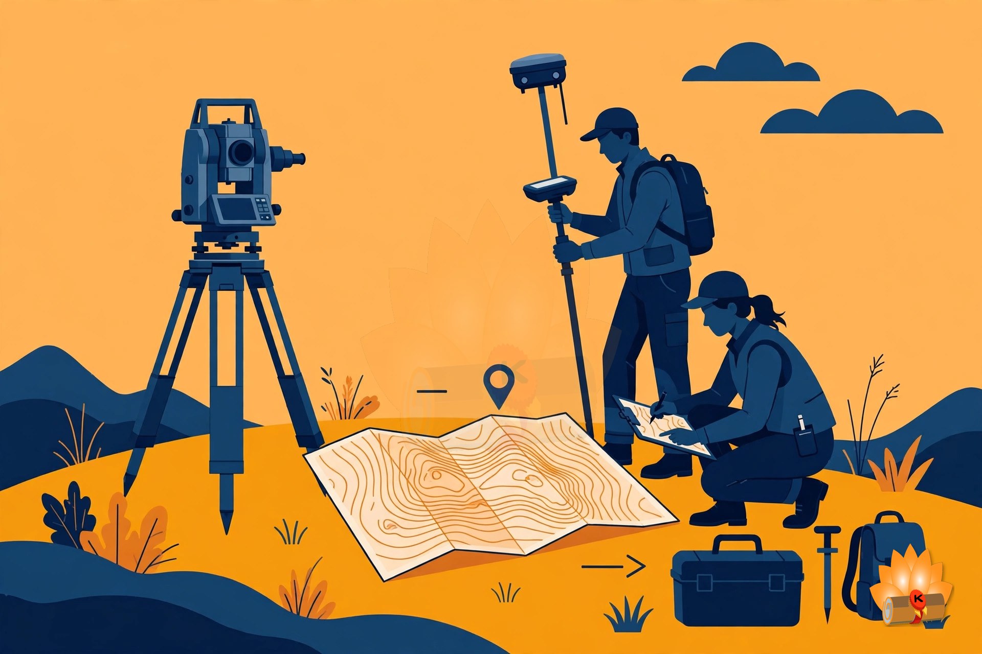
Plane table surveying — उसके accessories, setting और orientation, और radiation, intersection, traversing व resection methods।
Unit 2 — Theodolite Surveying (6 Periods, 20%)
Types and uses of theodolite, components of transit theodolite and their functions, reading the vernier of transit theodolite; technical terms — swinging, transiting, face left, face right; fundamental axes of transit theodolite and their relationship; temporary adjustment of transit theodolite; measurement of horizontal angle — direct and repetition method and reiteration methods; measurement of magnetic bearing of a line, prolonging and ranging a line, deflection angle; measurement of vertical angle; theodolite traversing by included angle method and deflection angle method; checks for open and closed traverse, calculations of bearing from angles; traverse computation — latitude, departure, consecutive coordinates, independent coordinates, balancing the traverse by Bowditch's rule and transit rule, Gale's traverse table computation; errors and precautions in theodolite surveying.
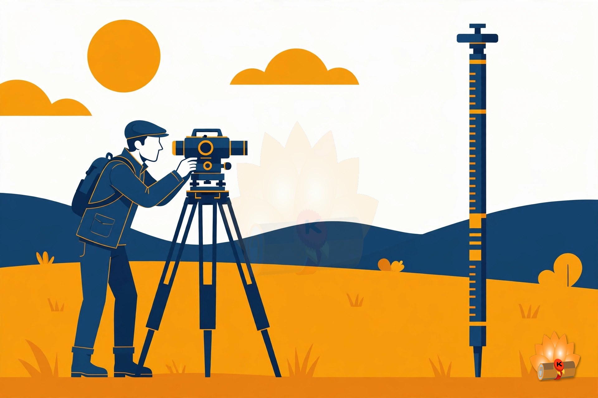
Theodolite surveying — transit theodolite, horizontal और vertical angles मापना, traversing, और Bowditch's rule से traverse को balance करना।
Unit 3 — Tacheometric Surveying and Curve Setting (6 Periods, 20%)
Principles of tacheometry, tacheometer and its component parts, anallactic lens; tacheometric formula for horizontal distance with telescope horizontal and staff vertical; field method for determining constants of tacheometer, determining horizontal and vertical distances with tacheometer by fixed hair method and staff held vertical, limitations of tacheometry; simple circular curve: basic definitions, designation of curves, types of curves used in roads and railway alignments; transition curves: definition and requirement; setting simple circular curve by offsets from long chord, tangent and Rankine's method of deflection angles; introduction of vertical circular curve.
Tacheometry और curve setting — tacheometric formula, और offsets व Rankine's method से simple circular curves set करना।
Unit 4 — Advanced Surveying Equipments (6 Periods, 20%)
Principle of Electronic Distance Meter (EDM), its component parts and their functions, use of EDM; use of micro optic theodolite and electronic digital theodolite; use of total station, use of function keys; measurements of horizontal angles, vertical angles, distances and coordinates using total station, traversing, profile survey and contouring with total station.
Advanced equipment — electronic distance meter, micro-optic और electronic theodolites, और total station।
Unit 5 — Remote Sensing, GPS and GIS (6 Periods, 20%)
Remote sensing — overview, remote sensing system, applications of remote sensing in civil engineering, land use / land cover, mapping, disaster management; use of Global Positioning System (G.P.S.) instruments; Geographic Information System (GIS): overview, components, applications, software for GIS; introduction to drone surveying.
Remote sensing, GPS और GIS — वे कैसे काम करते हैं, civil engineering में उनके उपयोग, और drone surveying का परिचय।
प्रैक्टिकल कार्य
- Use plane table survey to prepare plans of a plot of seven sided closed traverse by radiation method.
- Use plane table survey to prepare plans, locate details by intersection method and resection method (two point problem and three point problem).
- Use plane table survey to prepare plans, locate details by traversing method.
- Use plane table survey to carry out survey project for closed traverse for minimum five sides around a building.
- Use transit theodolite to measure horizontal and vertical angle by direct method.
- Plot the traverse on A1 size imperial drawing sheet for the collected data from preceding theodolite survey project.
और भी बहुत कुछ — 13 practicals की पूरी सूची PDF के अंदर है।
पूरा सिलेबस
आधिकारिक सिलेबस से पूरी परीक्षा योजना, practicals की पूरी सूची और संदर्भ पुस्तकें। यूनिट के अनुसार topics ऊपर “आप क्या पढ़ेंगे” वाले हिस्से में दिए गए हैं।
परीक्षा योजना
| कोड | पेपर | प्रकार | L – P | क्रेडिट | आंतरिक | बाह्य | कुल |
|---|---|---|---|---|---|---|---|
| 4.3 | Advance Surveying | Theory | 2 – 0 | 2 | Theory 40 | Theory 60 (3 hrs) | 100 |
| 4.4 | Advance Surveying Lab. | Practical | 0 – 4 | 2 | Practical 60 | Practical 40 (3 hrs) | 100 |
| Advance Surveying Total | 4 | 100 | 100 | 200 | |||
एक नज़र में यूनिट्स
| यूनिट | विषय | पीरियड | अंकों का हिस्सा |
|---|---|---|---|
| 1 | Plane Table Surveying | 4 | 20% |
| 2 | Theodolite Surveying | 6 | 20% |
| 3 | Tacheometric Surveying and Curve Setting | 6 | 20% |
| 4 | Advanced Surveying Equipments | 6 | 20% |
| 5 | Remote Sensing, GPS and GIS | 6 | 20% |
प्रैक्टिकल्स की पूरी सूची
यह आधिकारिक सिलेबस से practicals की पूरी सूची है।
- Use plane table survey to prepare plans of a plot of seven sided closed traverse by radiation method.
- Use plane table survey to prepare plans, locate details by intersection method and resection method (two point problem and three point problem).
- Use plane table survey to prepare plans, locate details by traversing method.
- Use plane table survey to carry out survey project for closed traverse for minimum five sides around a building.
- Use transit theodolite to measure horizontal and vertical angle by direct method.
- Plot the traverse on A1 size imperial drawing sheet for the collected data from preceding theodolite survey project.
- Set out a circular curve by Rankine's method of deflection angles.
- Use EDM to measure horizontal distance.
- Use total station instrument to measure horizontal distances.
- Use total station instrument to measure vertical angle.
- Use total station instrument to carry out survey project for closed traverse for minimum five sides.
- Plot the traverse on A1 size imperial drawing sheet for the collected data from preceding total station survey project.
- Use GPS to locate the coordinates of a station.
संदर्भ पुस्तकें
सिलेबस में दिए अनुसार:
- Kanetkar, T. P.; Kulkarni, S. V., Surveying and Levelling Part I and II, Pune Vidyarthi Gruh Prakashan, Pune.
- Basak, N. N., Surveying and Levelling, McGraw Hill Education (India) Pvt. Ltd., Noida.
- Duggal, S. K., Survey I and Survey II, Tata McGraw Hill Education Pvt. Ltd., Noida.
- Saikia, M D.; Das. B.M.; Das. M.M., Surveying, PHI Learning Pvt. Ltd., New Delhi.
- D.V. Gupta, Vikram Singh, Land Surveying-II, Asian Publishers, Muzaffarnagar, ISBN: 978-93-91541-59-0.
- Subramanian, R., Surveying and Levelling, Oxford University Press, New Delhi.
- Punmia, B.C.; Jain, Ashok Kumar; Jain, Arun Kumar, Surveying Vol. I and Surveying Vol. II, Laxmi Publications Pvt. Ltd., New Delhi.
- Rao, P. Venugopala Akella, Vijayalakshmi, Textbook of Surveying, PHI Learning Pvt. Ltd., New Delhi.
- Venkatramaiah, C, Textbook of Surveying, Universities Press, Hyderabad.
- Anderson, James M and Mikhail, Edward M, Surveying theory and practice, McGraw Hill Education, Noida.
- De, Alak, Plane Surveying, S.Chand Publications, New Delhi.
अक्सर पूछे जाने वाले प्रश्न
Advance Surveying चौथा सेमेस्टर में कितने अंकों का है?
कुल 200 अंक और 4 क्रेडिट। Advance Surveying: 100 अंक (आंतरिक Theory 40, बाह्य Theory 60 (3 hrs)); Advance Surveying Lab.: 100 अंक (आंतरिक Practical 60, बाह्य Practical 40 (3 hrs))।
Advance Surveying में किन यूनिट्स का weightage सबसे ज़्यादा है?
हर यूनिट का weightage बराबर है — प्रत्येक 20% — इसलिए किसी को भी छोड़ा नहीं जा सकता।
Advance Surveying में क्या प्रैक्टिकल कार्य है?
13 experiments, जिनमें Use plane table survey to prepare plans of a plot of seven sided closed traverse by radiation method.; Use plane table survey to prepare plans, locate details by intersection method and resection method (two point problem and three point problem).; Use plane table survey to prepare plans, locate details by traversing method. शामिल हैं। पूरी सूची ऊपर “पूरा सिलेबस” वाले हिस्से में है।
क्या Advance Surveying theory विषय है या practical विषय?
दोनों: Advance Surveying theory है (L–P 2 – 0); Advance Surveying Lab. practical है (L–P 0 – 4)।
इस विषय की spelling “Advance Surveying” क्यों है, “Advanced Surveying” क्यों नहीं?
आधिकारिक syllabus में यही छपा है — PDF में subject का नाम “Advance Surveying” ही दिया गया है, और वही spelling यहाँ और PDF में इस्तेमाल की गई है।
Advance Surveying सिलेबस PDF कैसे डाउनलोड करें?
PDF मुफ़्त में डाउनलोड के लिए उपलब्ध है — नीचे Download वाले हिस्से में दिए गए download link का उपयोग करें। यह KAMALDNP Academy द्वारा आधिकारिक BTEUP सिलेबस से तैयार किया गया है।
संबंधित सिलेबस पोस्ट
- BTEUP Civil चौथा सेमेस्टर सिलेबस 2026-27
- BTEUP Civil Engineering पूरा सिलेबस 2026-27 — सभी वर्ष, सभी सेमेस्टर
- Hydraulics — BTEUP Civil चौथा सेमेस्टर सिलेबस 2026-27
- Theory of Structure — BTEUP Civil चौथा सेमेस्टर सिलेबस 2026-27
- Design of RCC Structures — BTEUP Civil चौथा सेमेस्टर सिलेबस 2026-27
- RCC Structures Drawing — BTEUP Civil चौथा सेमेस्टर सिलेबस 2026-27
Advance Surveying सिलेबस PDF डाउनलोड करें
नीचे पूरा Advance Surveying सिलेबस PDF डाउनलोड करें — KAMALDNP Academy द्वारा तैयार, जिसमें topics की पूरी सूची, practicals और संदर्भ पुस्तकें हैं।
Advance Surveying सिलेबस PDF डाउनलोड करें
स्रोत: BTEUP द्वितीय वर्ष पाठ्यक्रम (आधिकारिक पाठ्यक्रम की IIMT mirror प्रति), C.D.C. की 16.07.2026 को हुई बैठक में स्वीकृत। Topic सूचियाँ आधिकारिक सिलेबस के अनुसार हैं; छोटे सारांश लेखक के अपने सरल शब्दों में लिखे गए हैं, सिलेबस का मूल पाठ नहीं हैं। कृपया अपने पॉलिटेक्निक से किसी भी स्थानीय बदलाव की पुष्टि कर लें।
Comments (0)
Share your question or experience about this syllabus. Your comment will appear after review.
No comments yet — be the first to share your thoughts!